Explore

Our Locations

Discover the diverse locations we serve across Puerto Rico for your advertising needs.

Strategic placements that deliver real results

We understand what makes outdoor advertising work. Our billboards sit where eyes naturally fall, where traffic flows heavy, where your message finds its audience. We’ve built our reputation on knowing Puerto Rico’s landscape and placing your brand exactly where it matters most.

Billboards 14’ x 48’ Digital

Click a location for details and videos.

Transit:

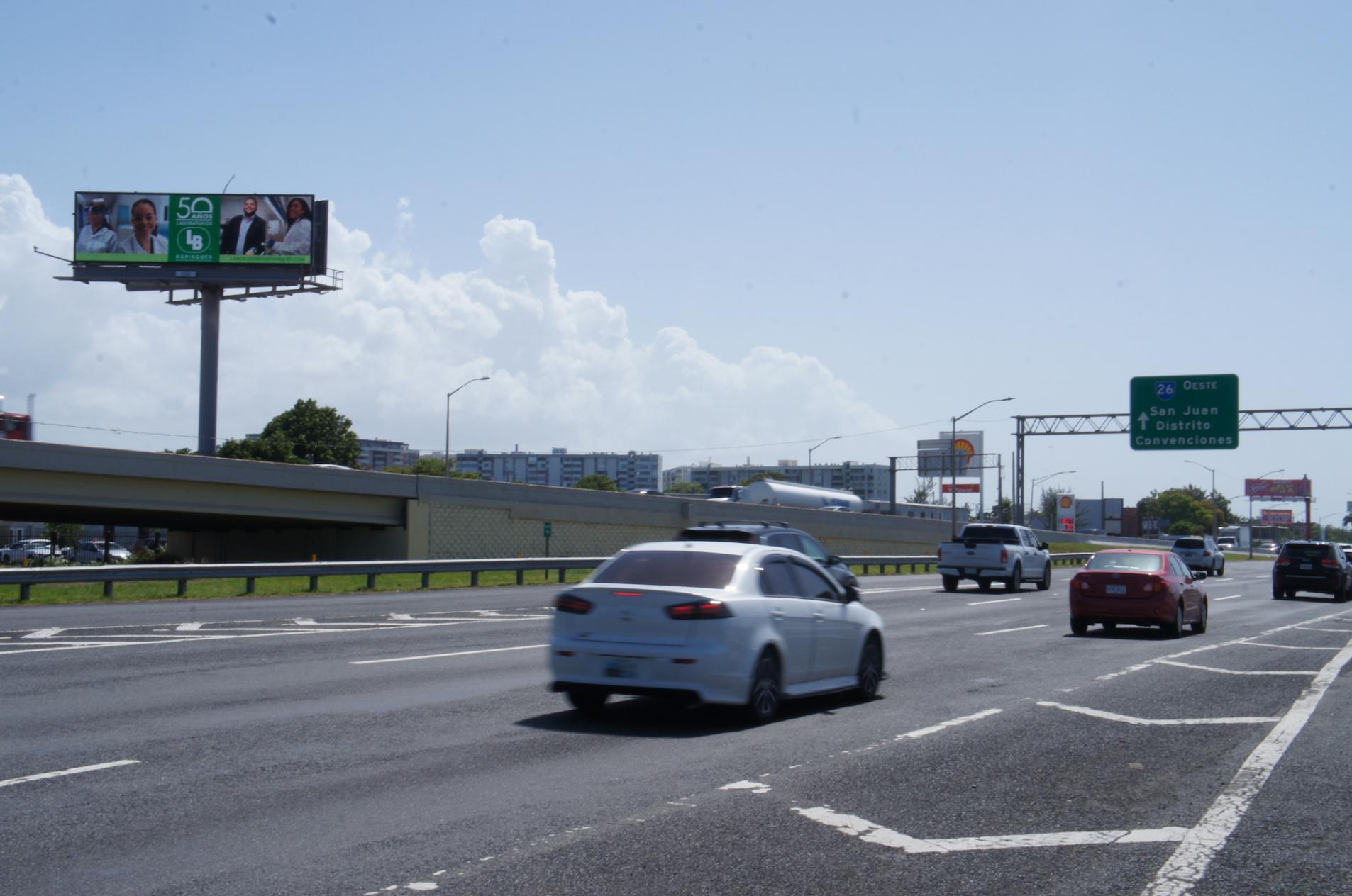
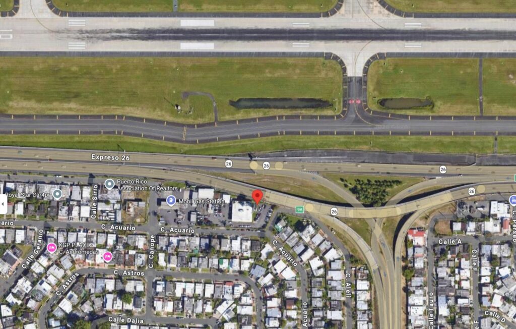
Highway #26 Baldorioty de Castro, Km. 8.9 (near Airport)

Dimensions:

14’ X 48’ Digital

Coordinates:

18.431489,-66.009794

Side B – Highway #26, from Carolina to San Juan.

GPS Image

Transit:

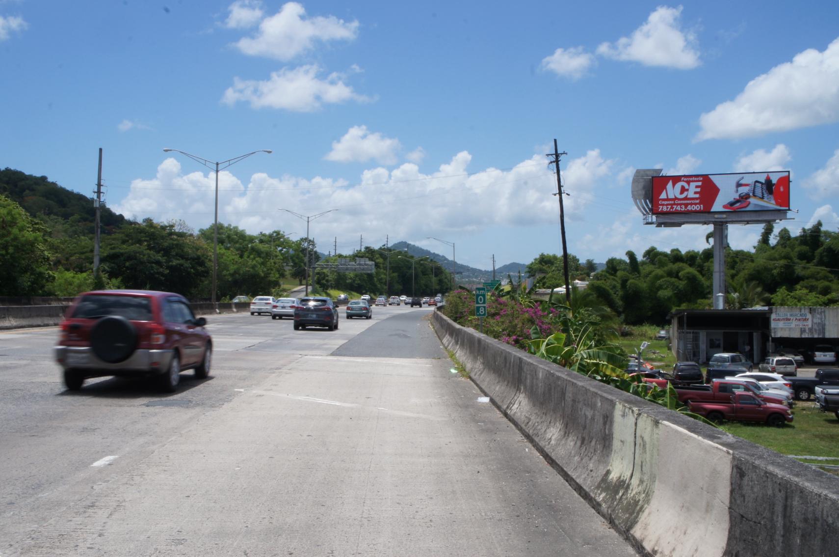
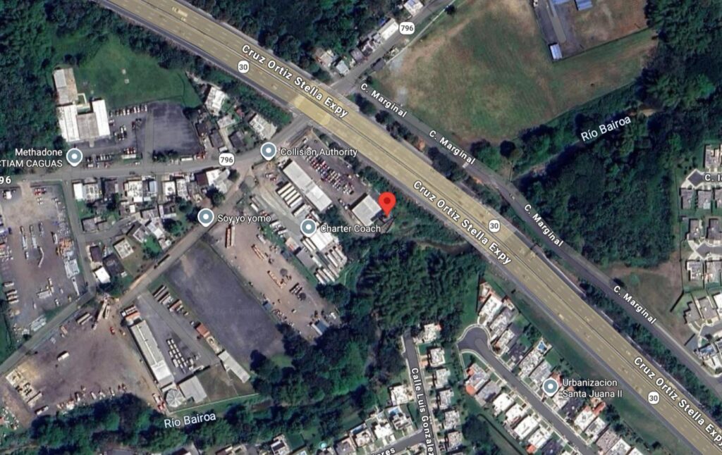
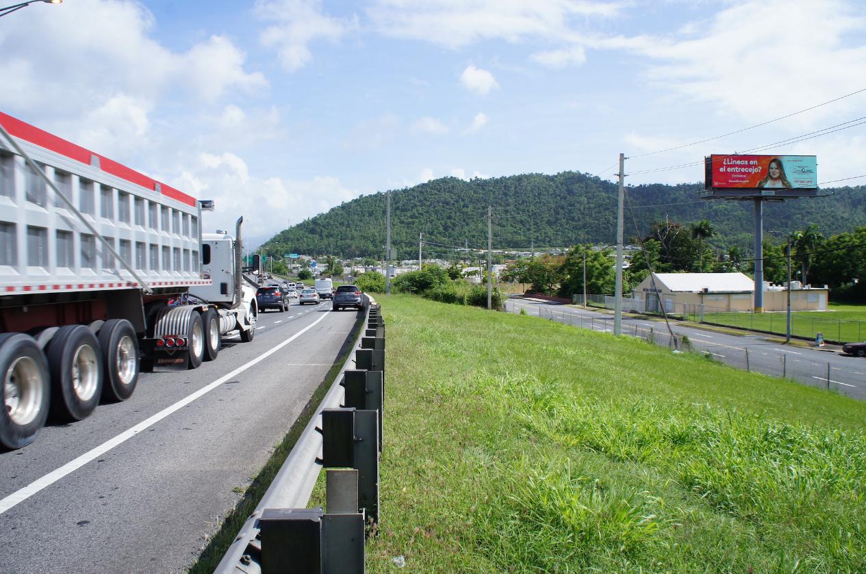
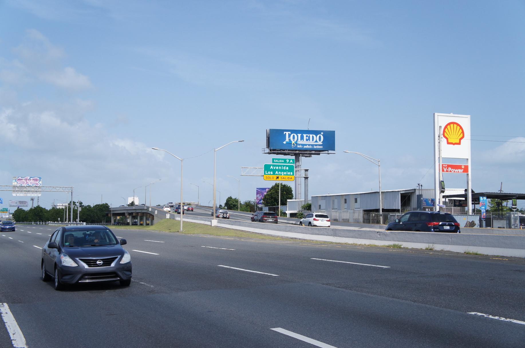
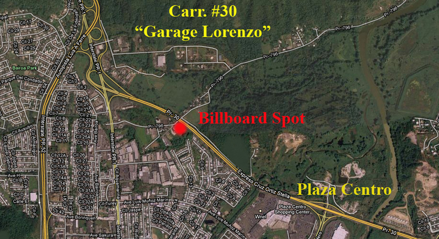
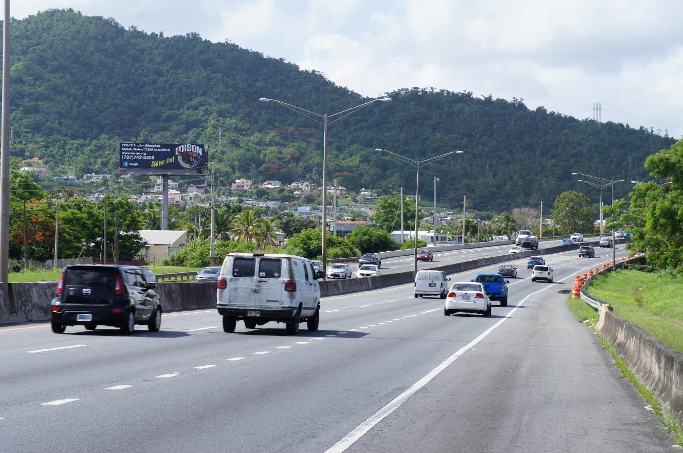
Highway #30, Ortiz Stella Km. 1.4, Exit 14 (near Plaza Centro Mall)

Dimensions:

14’ X 48’ Digital

Coordinates:

18.255877,-66.029873 

Side A – Highway #30, from Caguas to Humacao.

GPS Image

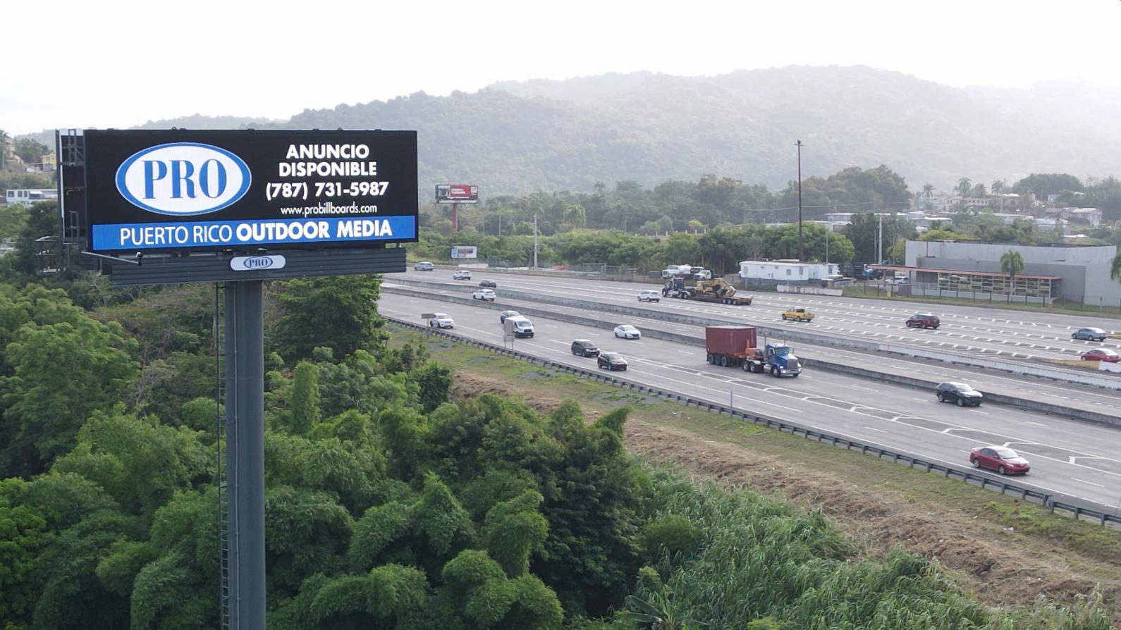
Transit:

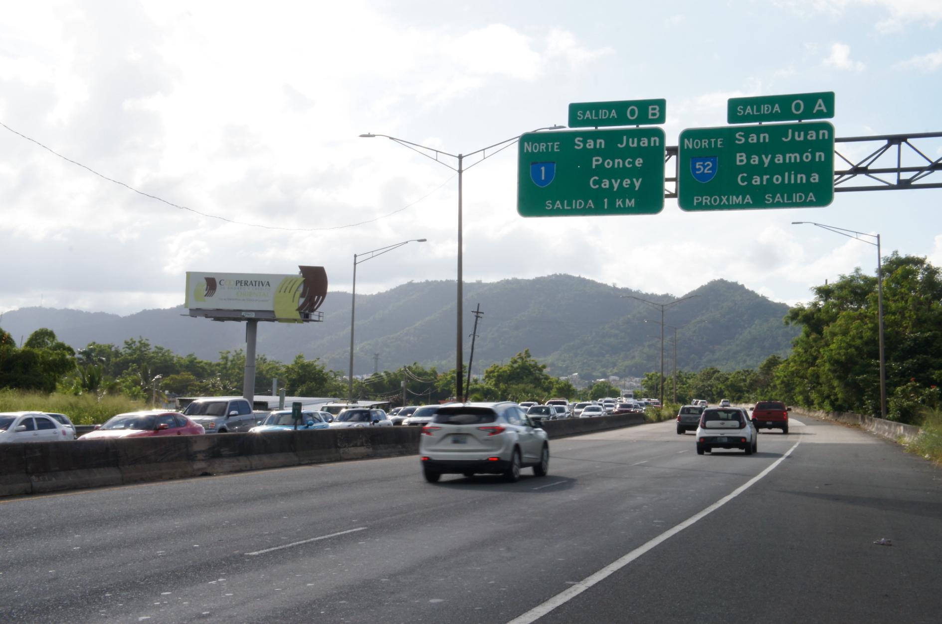
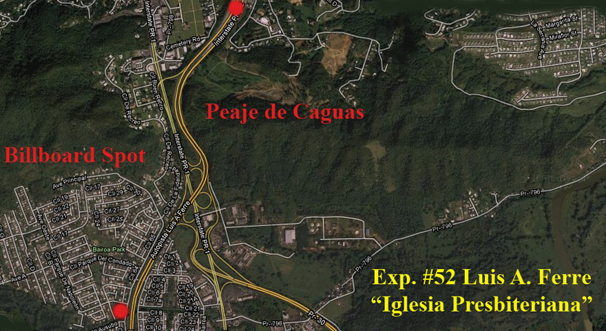
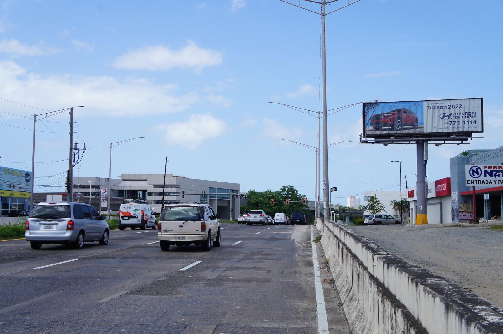
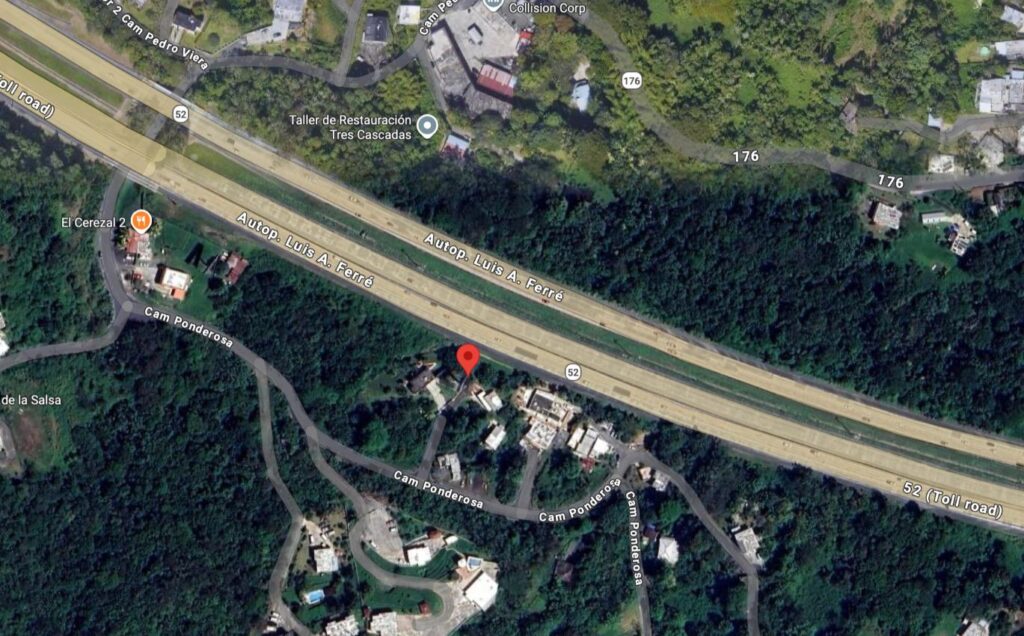
Highway #52 Luis A. Ferré, Km. 16.7 (near Catalinas Mall)

Dimensions:

14’ X 48’ Digital

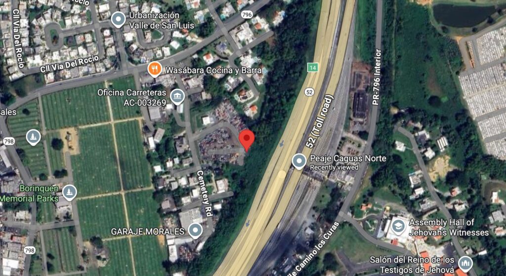
Coordinates:

18.257044,-66.043319

Side A – Highway #52, from San Juan to Caguas.

GPS Image

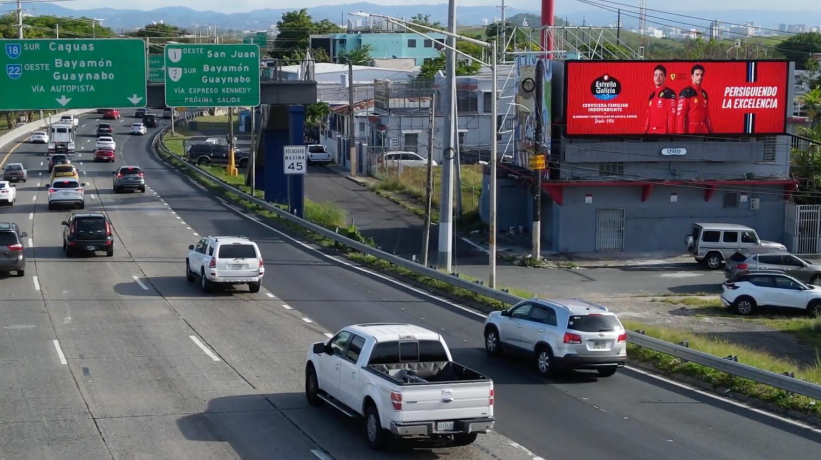
Transit:

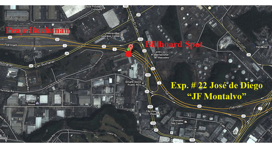
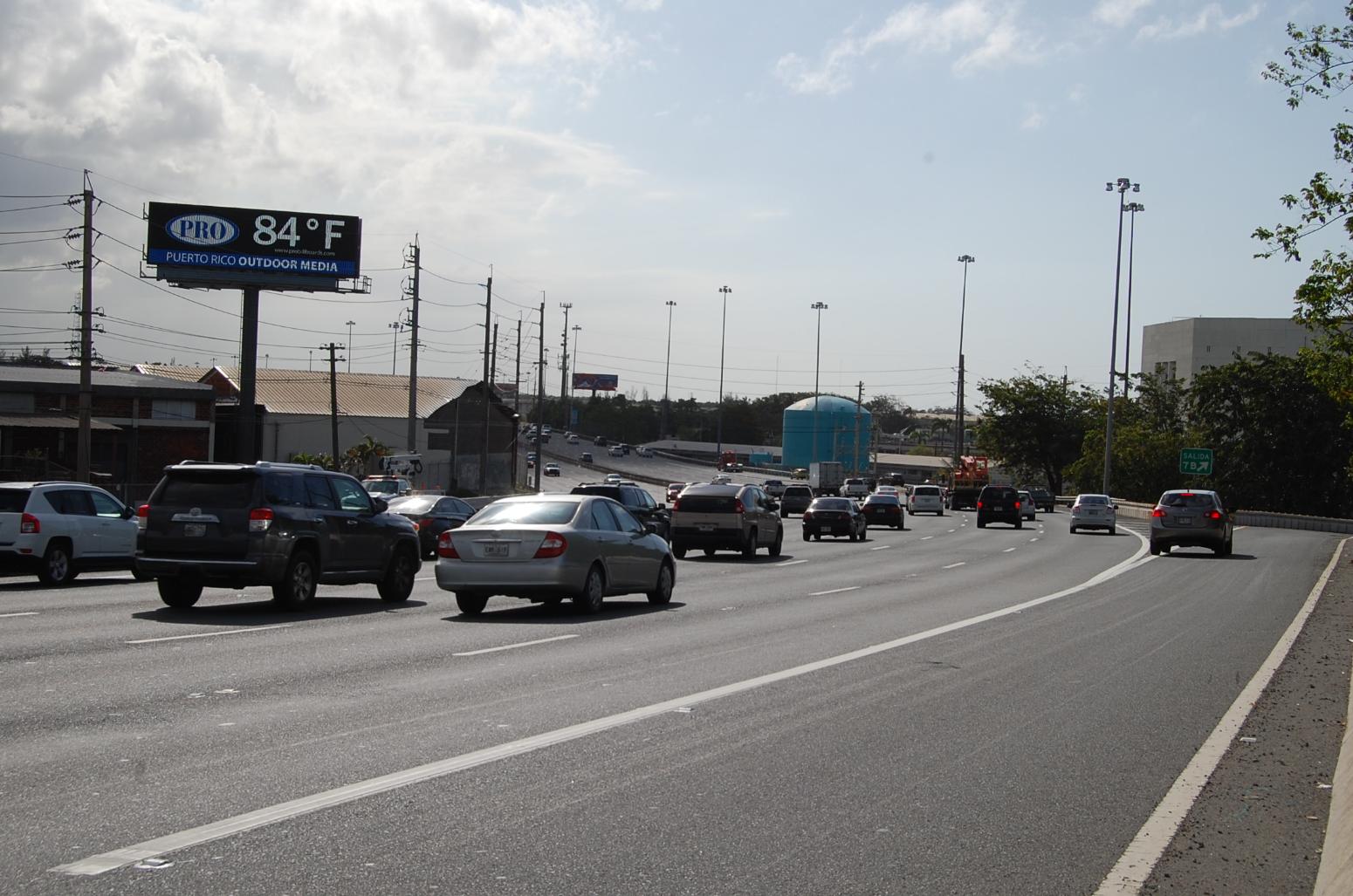
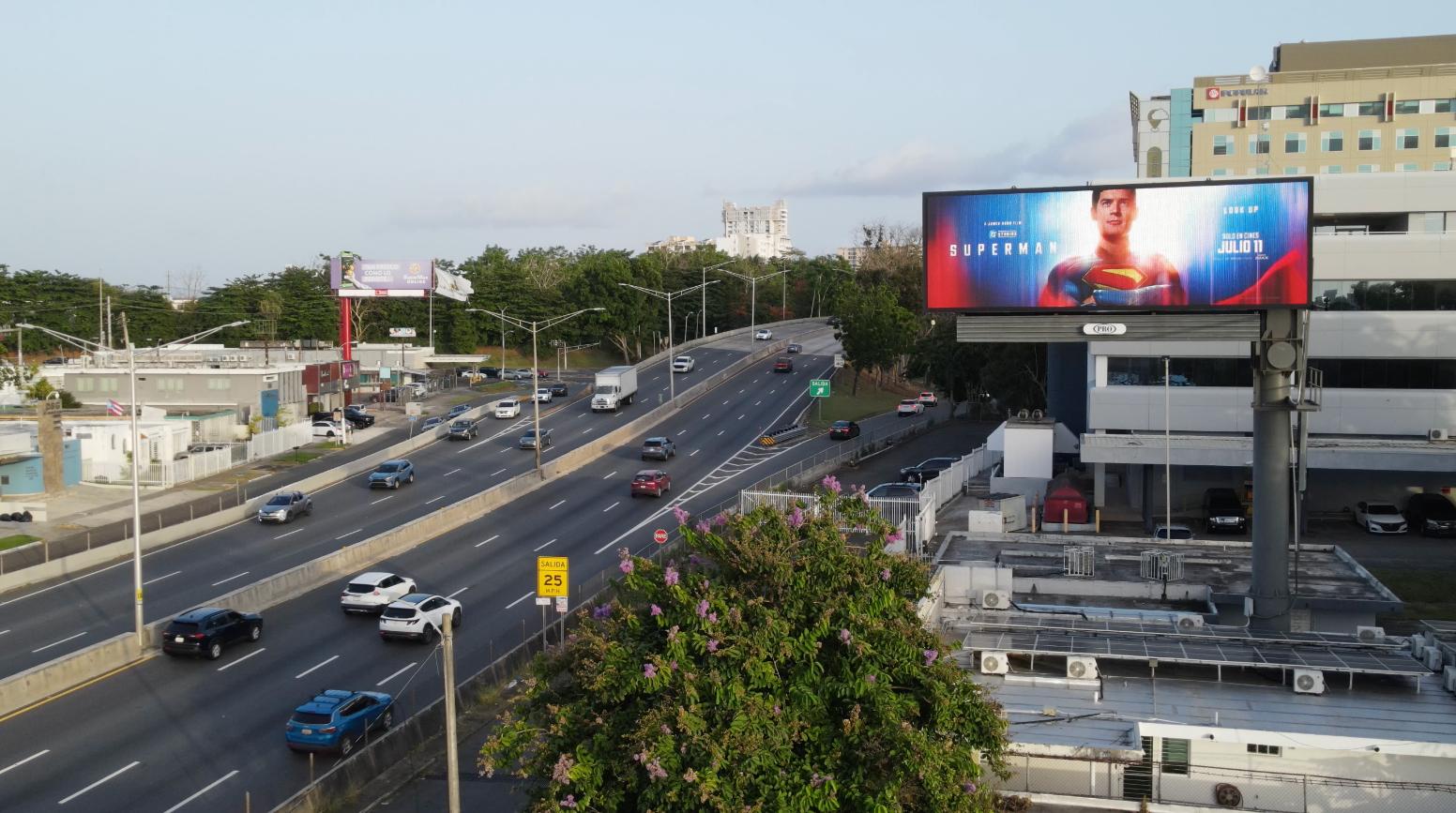
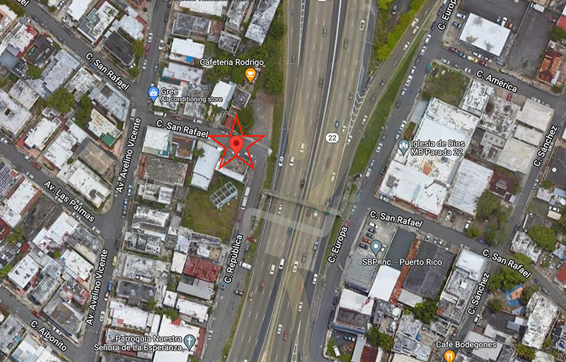
Highway #22 José de Diego, Km. 7.1 (near Buchanan Toll)

Dimensions:

14′ x 48′ Digital

Coordinates:

18.421547,-66.111699

Side A – Highway #22, from Bayamón to San Juan.

GPS Image

Transit:

Highway #22 José de Diego, Km. 7.1 (near Buchanan Toll)

Dimensions:

14′ x 48′ Digital

Coordinates:

18.421547,-66.111699

Side B – Highway #22, from San Juan to Bayamón.

GPS Image

Transit:

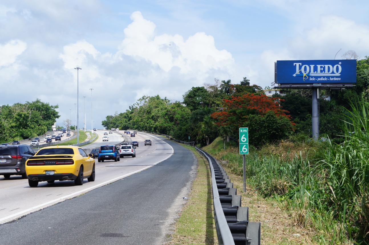
Highway #52 Luis A. Ferré, Km. 6.7 (near Montehiedra Mall)

Dimensions:

14’ X 48’ Digital

Coordinates:

18.326746, -66.051910

Side B – Highway #52, San Juan to Caguas, Puerto Rico.

GPS Image

Billboards 12’ x 36’ Digital

Click a location for details and videos.

Transit:

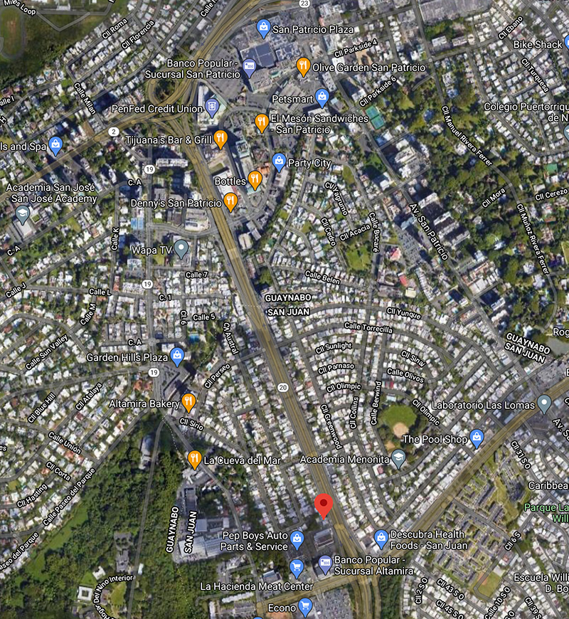
Highway #20 Martinez Nadal San Juan towards Guaynabo

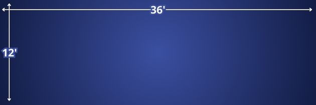
Dimensions:

12’ X 36’ Digital

Coordinates:

18.395897, -66.103779

Expressway #20 Martinez Nadal San Juan towards Guaynabo

GPS Image

Transit:

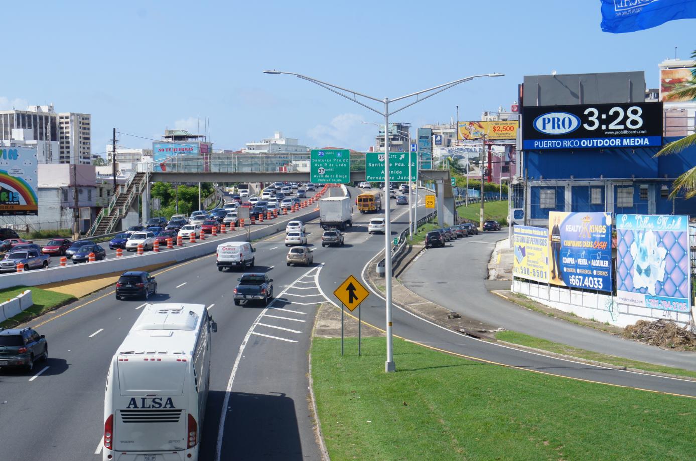
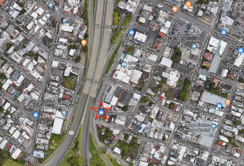
Highway #22, José De Diego Entering Tunnel Minillas
Hato Rey towards Condado/Santurce

Dimensions:

12’ X 36’ Digital

Coordinates:

18.442268, -66.070173

Expressway #22, José De Diego Entering Tunnel Minillas Hato Rey towards Condado/Santurce.

GPS Image

Transit:

Highway #22, Jose De Diego Exiting Tunnel Minillas Santurce/Condado towards Hato Rey/Bayamón

Dimensions:

12’ X 36’ Digital

Coordinates:

18.443028, -66.070667

Expressway #22, José De Diego exiting Tunel Minillas Santurce/Condad towards Hato Rey/Bayamón.

GPS Image

Transit:

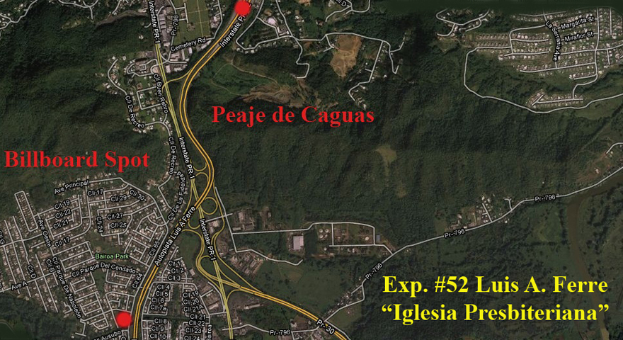
Highway #52 Luis A Ferre
Next to Caguas Tollbooth North Caguas towards San Juan

Dimensions:

12’ x 36’ Digital

Coordinates:

18.276989, -66.036405

Next to Caguas Tollbooth Nort Caguas towards San Juan

GPS Image

Billboards 14’ x 48’ Fixed

Click a location for details and videos.

Transit:

Highway #26 Baldorioty de Castro, Km. 8.9 (near Airport)

Dimensions:

14’ X 48’ Fixed

Coordinates:

18.431489,-66.009794

Side A – Highway #26, from San Juan to Carolina.

GPS Image

Transit:

Highway #30, Ortiz Stella Km. 1.4, Exit 14 (near Plaza Centro Mall)

Dimensions:

14’ X 48’ Fixed

Coordinates:

18.255877,-66.029873 

Side B – Highway #30, from Humacao to Caguas.

GPS Image

Transit:

Highway #52 Luis A. Ferré, Km. 16.7 (near Catalinas Mall)

Dimensions:

14’ X 48’ Fixed

Coordinates:

18.257044,-66.043319

Side B – Highway #52, from Caguas to San Juan.

GPS Image

Transit:

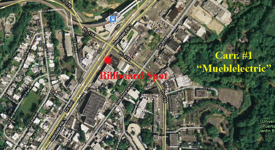
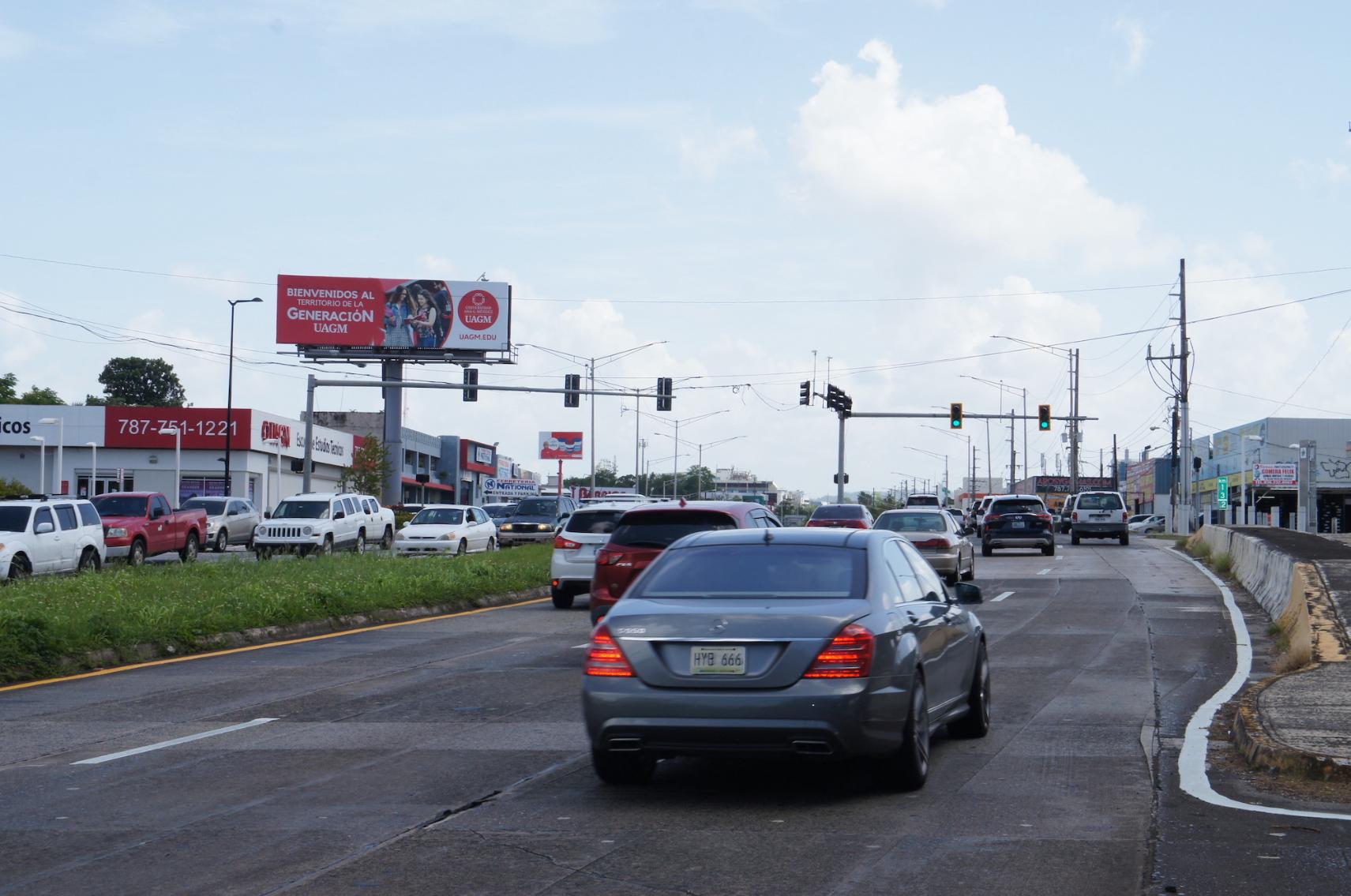
Road #1 Intersection Road #176, Rio Piedras.

Dimensions:

14’ X 48’ Fixed

Coordinates:

18.38904,-66.06348

Side A – Road #1, from Caguas to San Juan.

GPS Image

Transit:

Road #1 Intersection Road #176, Rio Piedras

Dimensions:

14’ X 48’ Fixed

Coordinates:

18.38904,-66.06348

Side B – Road #1, from San Juan to Caguas.

GPS Image

Transit:

Highway #52 Luis A. Ferré, Km. 6.7 (near Montehiedra Mall)

Dimensions:

14’ X 48’ Fixed

Coordinates:

18.326746, -66.051910

Side A – Highway #52, Caguas to San Juan, Puerto Rico.

GPS Image

Billboards 12’ x 36’ Fixed

Click a location for details and videos.

Transit:

Highway #20 Martinez Nadal Guaynabo towards San Juan

Dimensions:

12’ X 36’ Fixed

Coordinates:

18.395897, -66.103779

Expressway #20 Martinez Nadal Guaynabo towards San Juan

GPS Image

Transit:

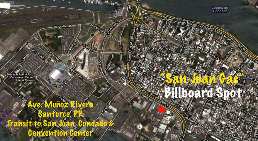
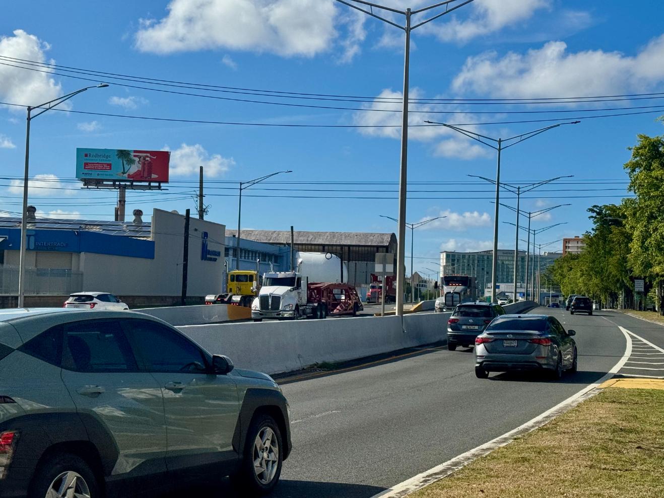
Highway #1 Luis Muñoz Rivera (near San Juan, Condado & Convention Center)

Dimensions:

Fixed Sign Billboard

Coordinates:

18.450461,-66.084494

Santurce to San Juan, Condado & Convention Center.

GPS Image

Transit:

Highway #1 Luis Muñoz Rivera (near San Juan, Condado & Convention Center)

Dimensions:

Fixed Sign Billboard

Coordinates:

18.450461,-66.084494

Santurce to San Juan, Condado & Convention Center.

GPS Image

Transit:

Highway #52 Luis A Ferre
Next to Caguas Tollbooth North San Juan to Caguas

Dimensions:

12’ x 36’ Fixed

Coordinates:

18.276989, -66.036405

Next to Caguas Tollbooth North San Juan to Caguas

GPS Image

Wall Units - Fixed

Click a location below for details and videos.

Transit:

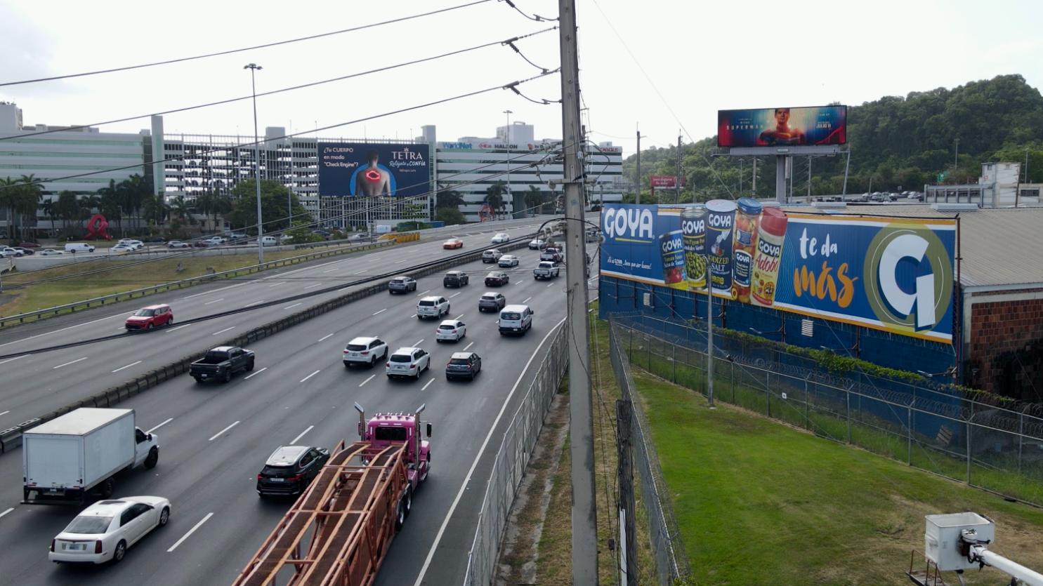
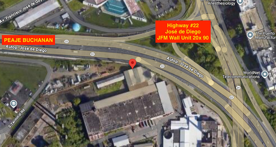
Highway #22 José de Diego Km 7.1 (near Buchanan Toll) Bayamón towards San Juan

Dimensions:

20’ x 120’ Fixed

Coordinates:

18.421720, -66.1121611

GPS Image

Transit:

Highway #22 José de Diego Km 7.1 (near Buchanan Toll) San Juan towards Bayamón

Dimensions:

20’ x 90’ Fixed

Coordinates:

18.421720, -66.112161

GPS Image

Transit:

HIGHWAY #52 HATO REY TO SAN JUAN AND VICEVERSA. (ENTERING AND EXITING MINILLAS TUNNEL)

Dimensions:

18’ x 25’ Fixed

Coordinates:

18.442961, -66.070606

GPS Image

Ready to get started

Your audience is waiting. Let’s put your message where it counts.

What is DEC?

Daily Effective Circulation (DEC) refers to the total number of potential visualizations for your billboard. This number is based on the estimated traffic (1.5 people) per car on the road.